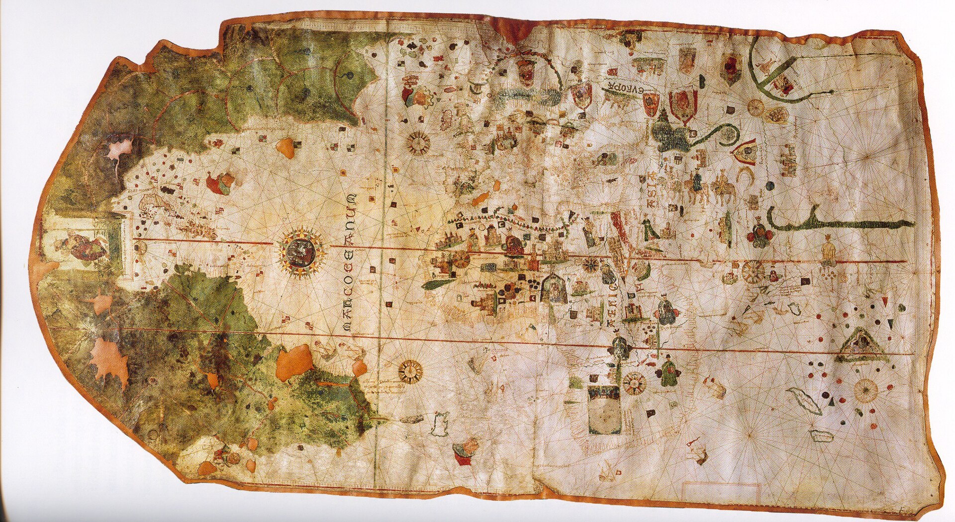
Two Kingdoms Compete
By the early 1490s, Portugal had spent decades building routes along the western coast of Africa. Portuguese rulers claimed trading rights and territories there and hoped to reach Asian markets by sailing around Africa. Spain entered the competition after Christopher Columbus returned from his first Atlantic voyage in 1493.
Spanish and Portuguese rulers both wanted control of overseas trade and lands. Their claims soon overlapped. Because the two Catholic kingdoms wanted to avoid war with each other, their diplomats tried to draw a boundary between the areas each crown could pursue.
From a Papal Line to a Treaty
In 1493, Pope Alexander VI issued statements that supported Spanish rights west of a north–south line in the Atlantic. Portugal objected because the line could limit its voyages and claims. Spain and Portugal then negotiated directly instead of accepting the first boundary.
On June 7, 1494, representatives signed the Treaty of Tordesillas in the Spanish town of Tordesillas. The rulers later ratified, or formally approved, it. The treaty moved the dividing line farther west—to 370 leagues west of the Cape Verde Islands. Spain could claim newly encountered lands west of the line, while Portugal could claim lands east of it.
A Line That Was Hard to Locate
The treaty described an imaginary line running from pole to pole, but sailors could not mark it on the ocean. A league was not measured in exactly the same way everywhere. Mapmakers also lacked accurate measurements of longitude, a location’s distance east or west.
As a result, experts disagreed about the line’s exact position. Maps from the period placed coastlines differently, and Europeans did not yet understand the full size or shape of the lands and oceans they were attempting to divide. The treaty looked precise in writing but was uncertain in practice.
Why Portugal Claimed Brazil
In 1500, a Portuguese fleet led by Pedro Álvares Cabral reached the eastern coast of South America. Portugal claimed the area because at least part of it appeared to lie east of the Tordesillas line. That claim helped shape the colony that became Brazil, where Portuguese became the main colonial language.
Spain claimed most of the rest of Central and South America under its interpretation of the treaty. The line did not create these empires by itself. Voyages, conquest, settlement, forced labor, missionary activity, and resistance determined what happened on the ground. Still, the agreement influenced the broad pattern of Spanish and Portuguese colonization.
A European Agreement, Not Global Consent
Spain, Portugal, and the pope acted as though European Christian rulers could divide territories across the ocean. Indigenous nations were not invited to the negotiations. They did not agree to surrender their homelands, governments, resources, or sovereignty. A line drawn by European diplomats could not make occupied lands empty or erase the rights of the people living there.
Other European powers also rejected the idea that Spain and Portugal could control most overseas expansion. England, France, and the Netherlands later sponsored their own voyages, trade, colonies, and attacks on Iberian shipping. The treaty showed what Spain and Portugal wanted to claim, not a boundary accepted by the whole world.
How Historians Read the Treaty
The Treaty of Tordesillas is useful evidence about diplomacy and empire. It reveals how Spain and Portugal tried to prevent conflict with each other while expanding their power abroad. It also shows how maps, religious authority, trade, and royal law became tools of colonization.
Historians must separate a claim from actual control and legal paperwork from justice. The treaty mattered because it guided imperial plans and helped shape later colonial borders and languages. Yet its authority came from European rulers, not from the peoples whose lands they claimed. Indigenous nations continued to govern, negotiate, resist, adapt, and survive.
Check Your Understanding
Choose the best answer. If you miss one, use the feedback and try again.
Why did Spain and Portugal sign the Treaty of Tordesillas?
Why was the treaty’s line difficult to locate precisely?
Which statement best evaluates the treaty from an Indigenous perspective?