No Single Invention Made Exploration Possible
Long ocean voyages depended on a system of tools and skills. Sailors needed ships that could carry supplies, sails that worked in changing winds, instruments that helped them find direction, and maps that recorded what other travelers had learned. Experienced crews also had to read waves, clouds, currents, stars, and coastlines.
Europeans did not invent all of this knowledge by themselves. Ship designs and navigation ideas developed over centuries in China, the Islamic world, Africa, the Mediterranean, and other regions. Trade and translation carried knowledge across cultural boundaries. European sailors adapted these ideas to Atlantic conditions and combined them with their own experience.
The Caravel: Small and Maneuverable
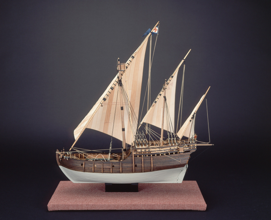
The caravel was a relatively small sailing ship used by Portuguese and Spanish sailors. Its shallow draft allowed it to enter coastal waters more easily than many larger vessels. A rounded hull and smooth, edge-to-edge planking helped make the ship durable and maneuverable. Caravels could explore coastlines, carry cargo, and travel on long voyages.
Caravels were not all built or rigged in exactly the same way. Early versions often carried lateen sails, while later versions could combine triangular and square sails. The Niña and Pinta from Columbus’s 1492 expedition were caravels, but the larger Santa María was a different type of vessel.
Sails Helped Crews Use the Wind
A lateen sail is triangular and hangs from a long, angled yard. It helped a ship change direction and sail closer to the wind. Sailors could not sail straight into the wind, but they could tack, or follow a zigzag course, to make progress in a partly upwind direction.
Square sails worked especially well when winds blew from behind a ship on the open ocean. Some crews used different sail types on the same vessel. Flexible rigging helped them adjust to coastlines, ocean winds, and the return journey home. Sails still required skilled crews, and storms or damaged rigging could place everyone aboard in danger.
The Magnetic Compass Showed Direction
A magnetic compass contains a magnetized needle that aligns roughly north and south. Compass navigation developed in China and spread through wider trade and knowledge networks before becoming common on European ships. By keeping a compass aligned with a ship, a navigator could follow a direction even when clouds hid the sun and stars.
A compass did not show a ship’s exact location. Navigators often used dead reckoning: they estimated position from the ship’s direction, speed, and travel time. Small errors could grow during a long voyage, especially when winds and currents pushed a ship off course.
The Astrolabe and the Sky
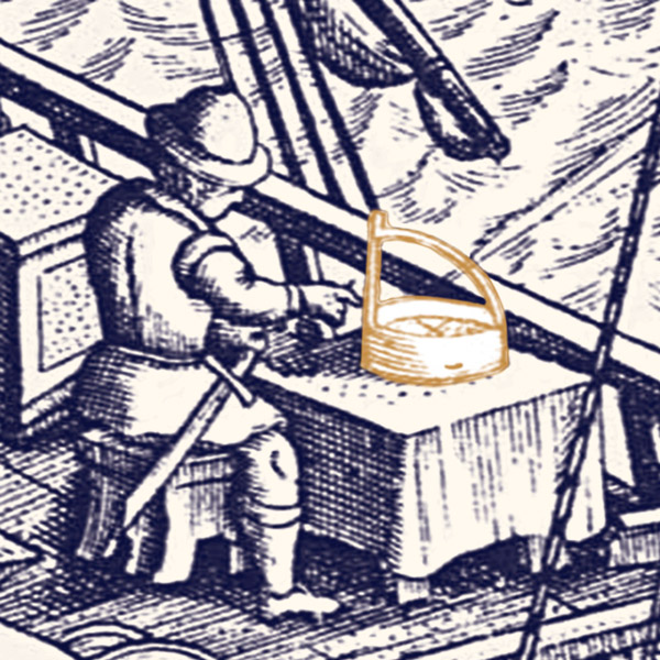
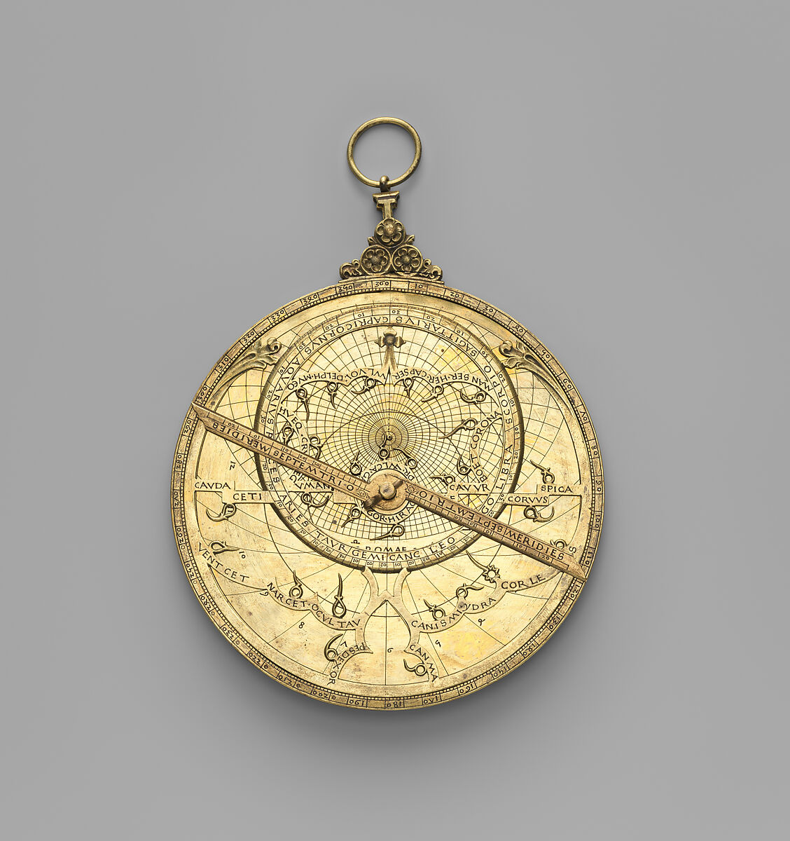
An astrolabe used the position of the sun or a known star to measure an angle above the horizon. Astrolabes had been studied and improved by scholars in the ancient Mediterranean and the Islamic world. European mariners later adapted simpler versions for use at sea.
With measurements and tables, a navigator could estimate latitude, or distance north or south of the equator. Finding longitude—distance east or west—remained much harder. A rolling ship also made precise measurements difficult, so an astrolabe provided useful evidence rather than a perfect answer.
Maps, Records, and Human Skill
Sailors used coastal charts, written sailing directions, and records of winds, currents, depths, and landmarks. Portolan charts gave detailed information about Mediterranean coastlines and ports. As voyages continued, mapmakers added reports from pilots and travelers. Some information was kept secret because rulers and merchants saw accurate routes as valuable knowledge.
Technology reduced some risks, but it did not make voyages safe or guarantee success. Ships leaked, food spoiled, crews became sick, and navigators made mistakes. Tools worked only when trained people used them together. These technologies made sustained European ocean voyages more possible—and those voyages soon supported trade, mapping, conquest, forced labor, and colonization.
Check Your Understanding
Choose the best answer. If you miss one, use the feedback and try again.
Why was the caravel useful for early Atlantic exploration?
What information did a magnetic compass give a navigator?
Why did skilled navigators combine several tools and observations?